Data can tell us a lot about a place. How much does it rain? How many people live there? Numbers can help us understand the history of a place and predict how it might change over time.
NUMBERS
Public Data Sets
Some of the data and information on these pages comes from widely available public data sets. For example, the United States Census Bureau publishes a wide variety of data about population, economics, and demographics. Government agencies, non-profits, and private businesses often conduct research and collect data that they make available to the public.
Private Data
Sometimes the most interesting data comes from anecdotal information collected by the residents and visitors to our Island. When was the first first hummingbird observed? How long was the ferry line? Many residents of Shaw have kept logs and notes about all kinds of things. All of them are interesting to somebody and these numbers can tell us something about where we live.
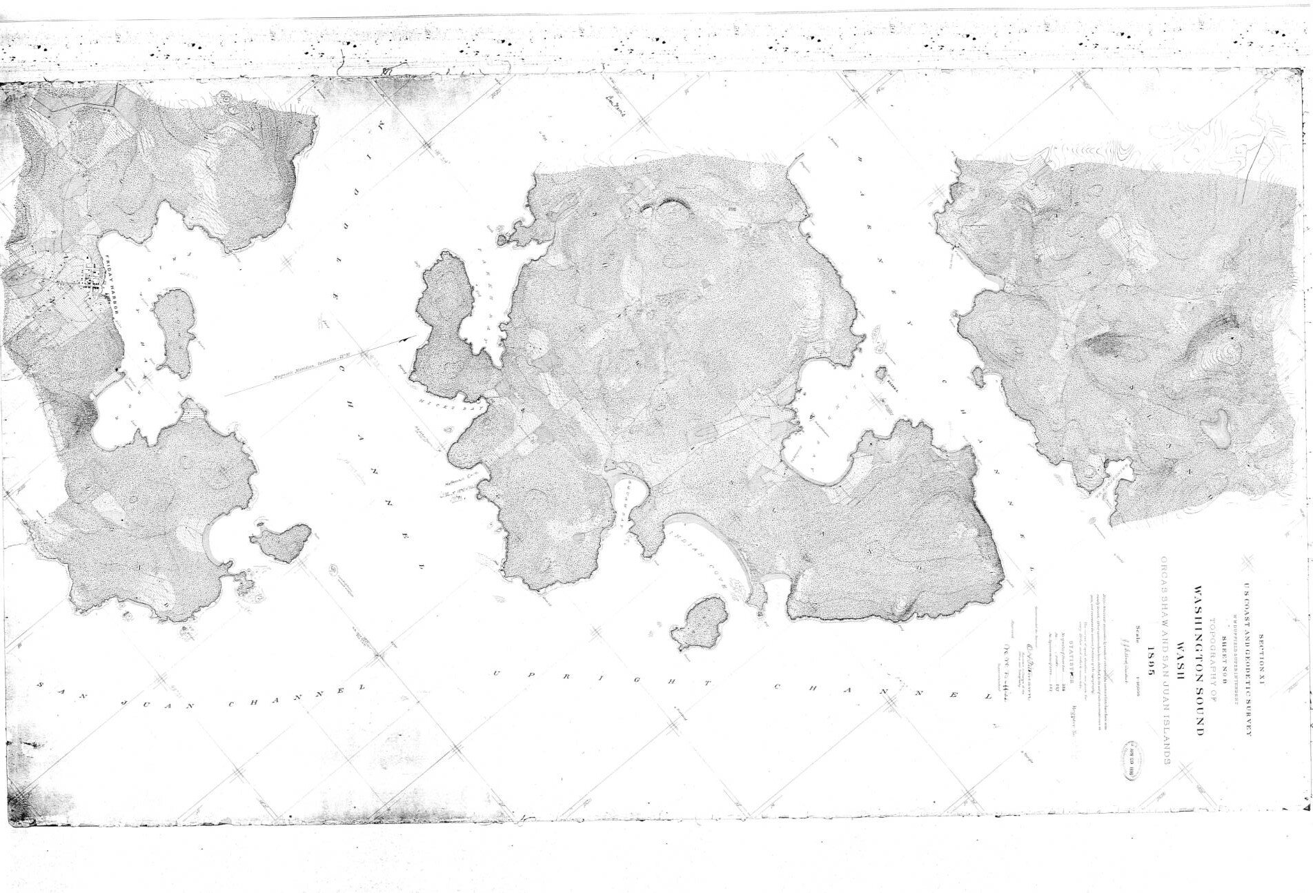
GIS
GIS stands for “Geographic Information System”. GIS is a powerful and sophisticated data collection, storage, and analysis tool using a computer and software to provide detailed information. I have built and maintained a GIS database for Shaw Island using ARC MAP and ARCGIS PRO software since 2004. It contains a wealth of data specifically about the parcels on Shaw Island.